We offer professional drone photos and videos that present land and homes in a unique way. Our shots allow you to look at real estate from a completely new perspective.
unique photos from a drone
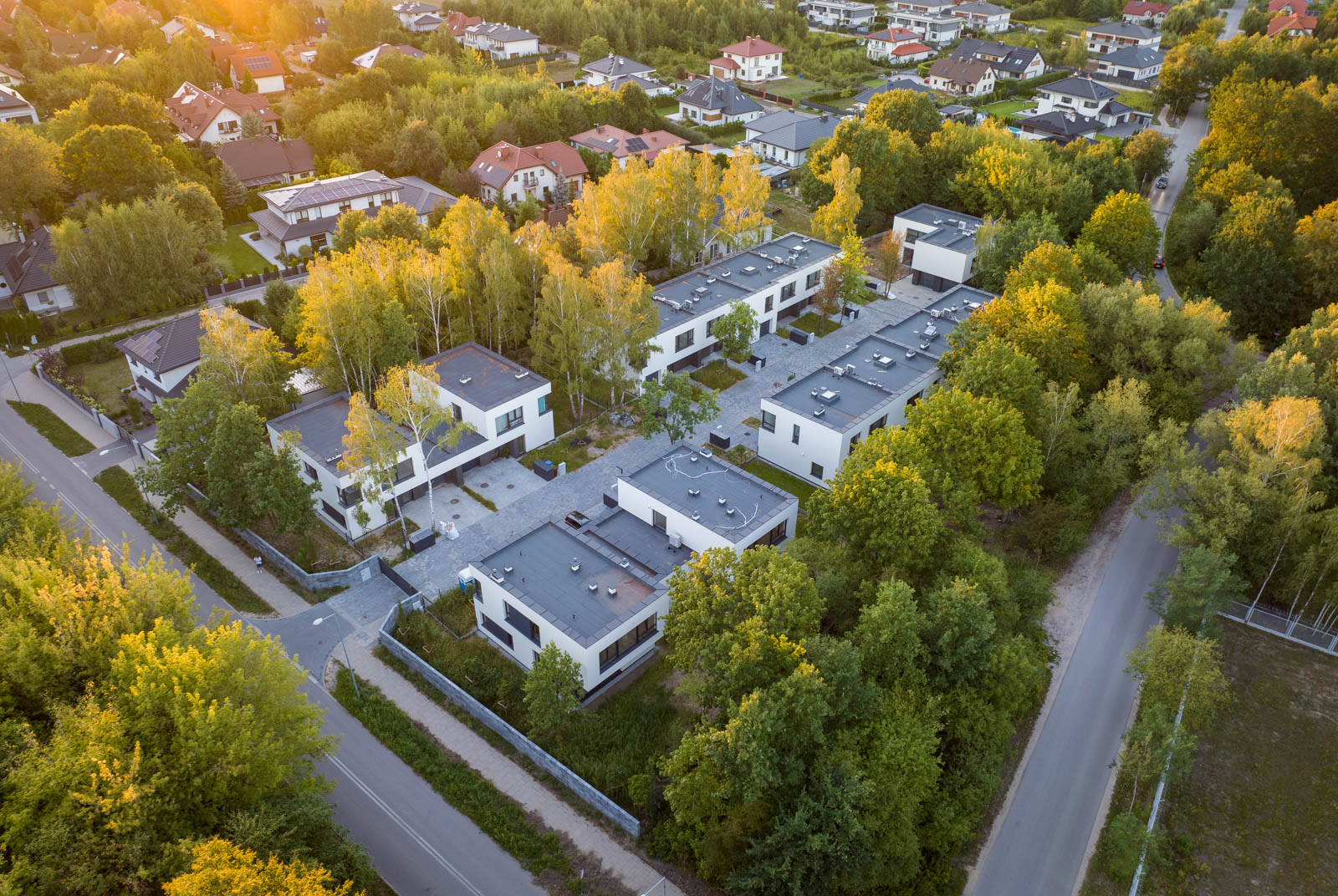
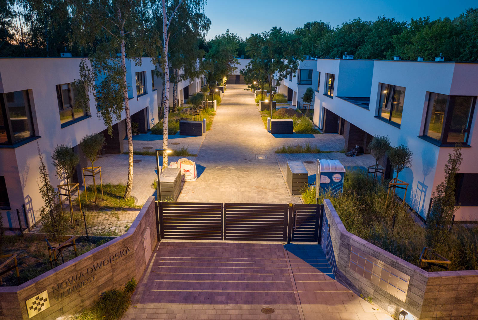
Highlight the property
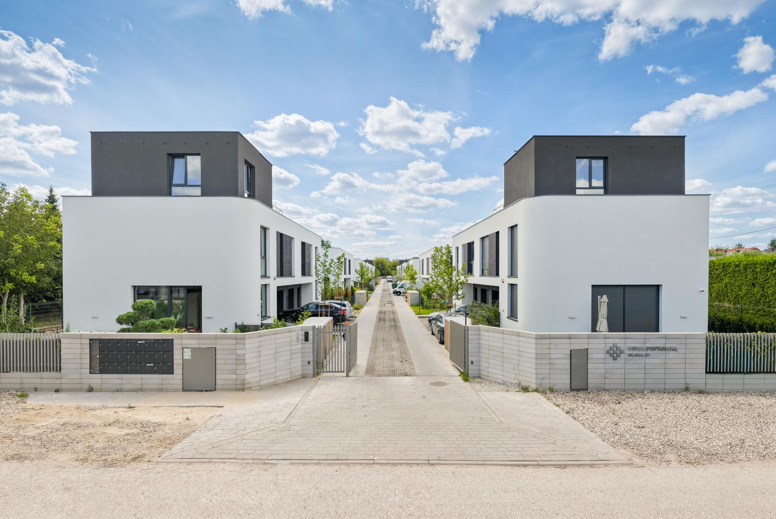
It is often challenging to capture the beauty of a property when confined to the ground-level perspective that standard photography sessions have accustomed us to. That’s when it’s worth considering elevating your visuals to the next level by opting for drone real estate photography.
Drones allow you to better showcase the features of a property, enhance the visual impact, and effectively encourage potential buyers to explore the offer. Such photos simply look stunning.
Drone photos will attract attention and arouse interest of potential buyers. Additionally, they will stand out from competitive offers. Therefore, drone photos can cause the so-called "wow effect" and quickly convince the customer to be interested in the offer.
photos from above
Show the advantages of the property
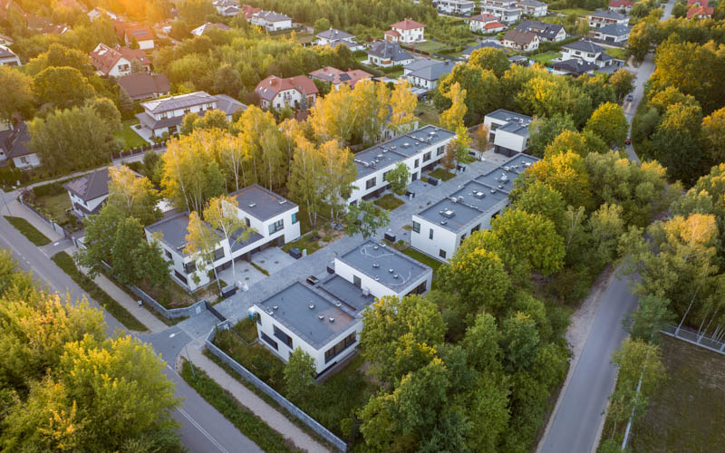
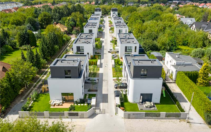
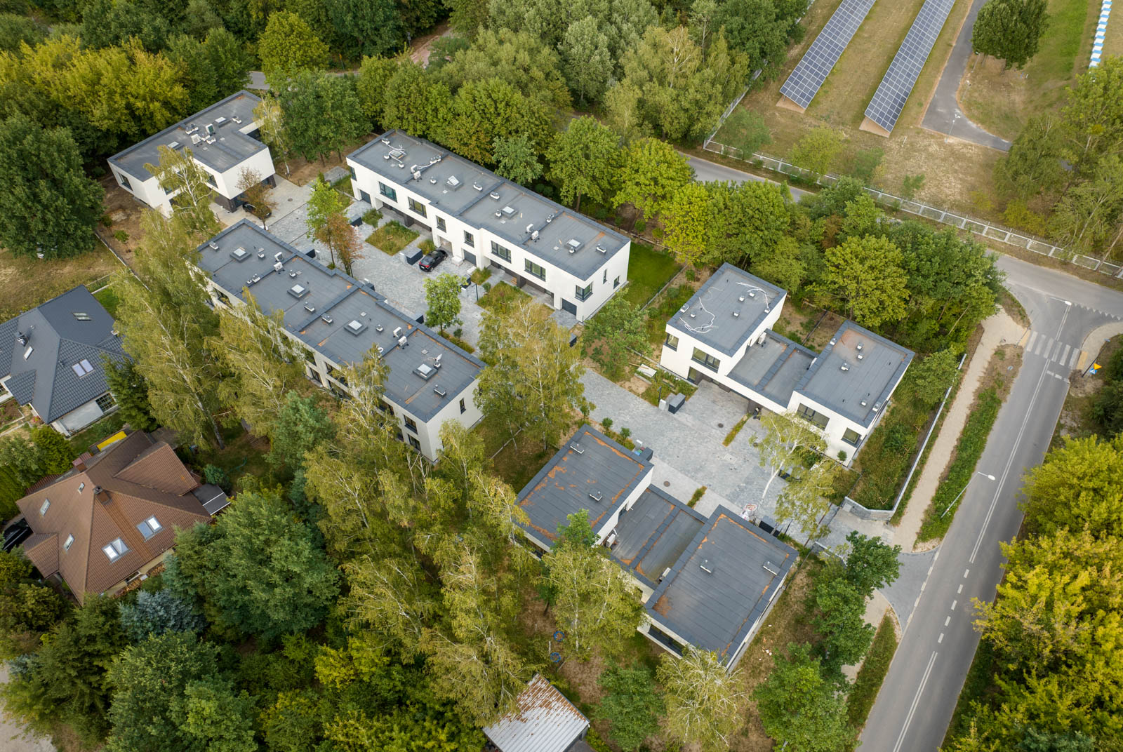
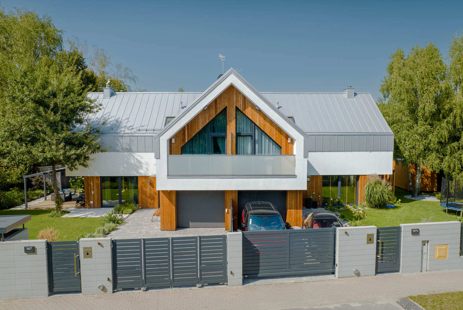
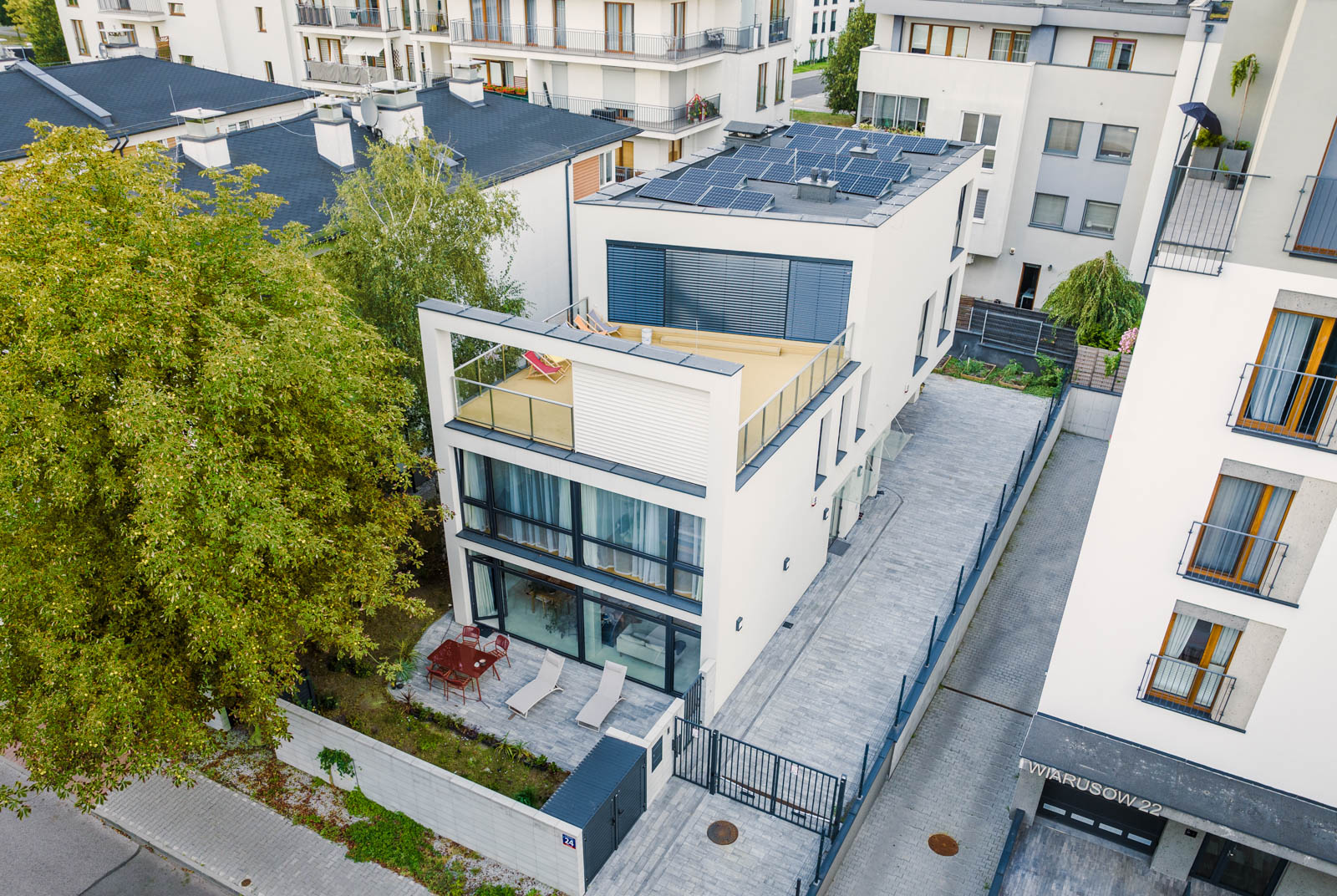
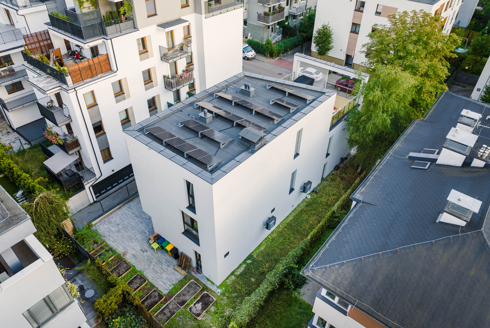
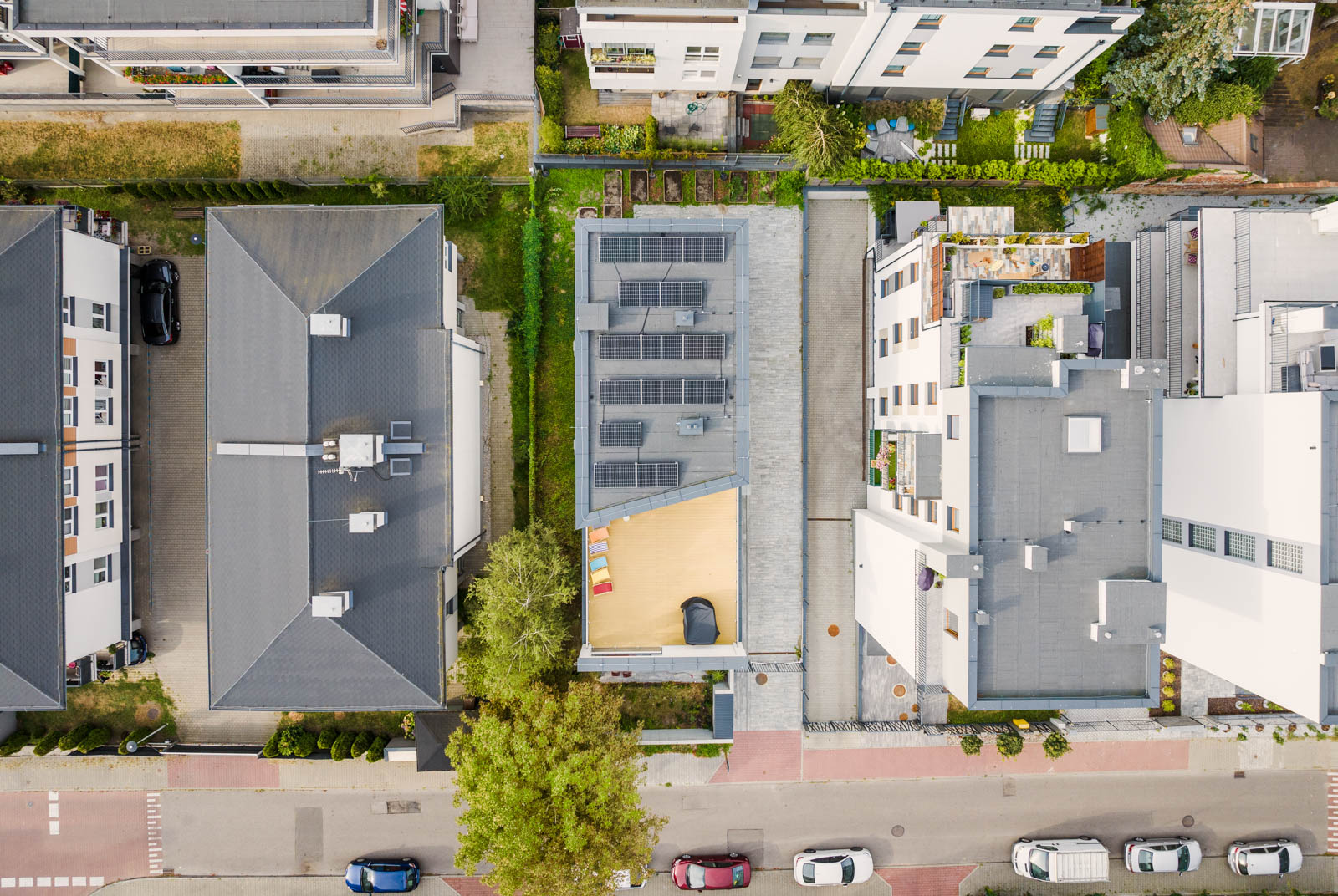
Drones make it possible to capture properties from unique angles and perspectives that are unattainable with ground-level photography and standard cameras, such as aerial views or spherical panoramas.
Aerial photos make it easy to showcase the size of the property and even mark its boundaries. Moreover, such images allow you to highlight the property’s features , such as a large garden or a rooftop terrace.
In this way, drone photos can significantly increase the chances of selling a property, and the expense of creating them is sure to pay off many times over.
Panoramas
Show the SURROUNDINGS
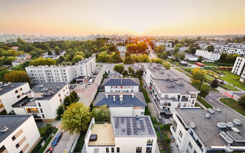
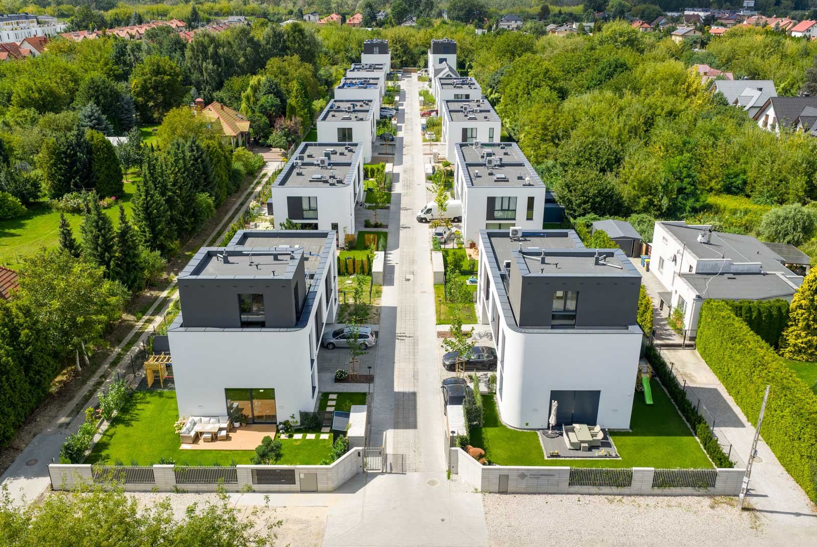
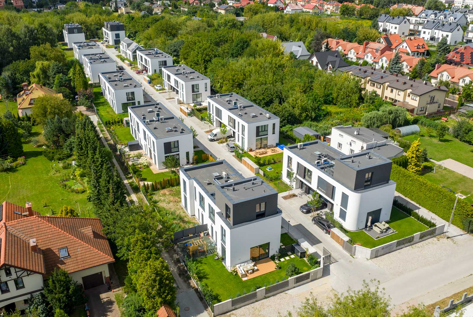
Equally important is the ability to showcase the property’s surroundings from the air. Highlighting the advantages of the area is crucial and can significantly enhance the property’s value.
Wide-angle photos or spherical panoramas can be used to show distances to key locations, such as schools or public transport stops. This helps potential buyers get a sense of which important facilities are nearby from their perspective.
ORTHOPHOTO MAPS
PRECISE PROPERTY MAPPING
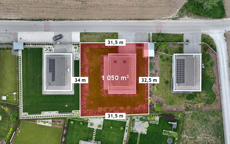
Preparing an orthophoto map may be an additional solution to make the real estate sale offer more attractive. When creating an orthophoto map, we carry out the flight by taking sequences of several hundred or even thousands of photos, which are processed in professional software to generate an orthophoto map. Thus, an orthophoto map is not just a regular photo from a drone.
Importantly, the orthophotomap we prepare allows for spatial analyses (e.g., taking measurements) and the digital overlaying of additional layers in GIS software (for example, a cadastral map can be overlaid onto the orthophotomap to verify and define the boundaries of land properties).
EXPERIENCE
OUR PROJECTS
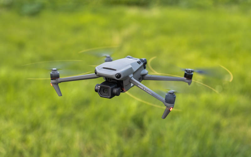
EQUIPMENT
High quality photos and videos
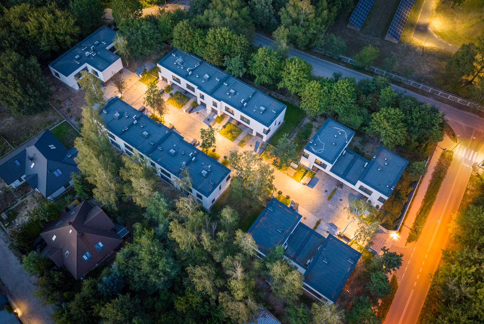
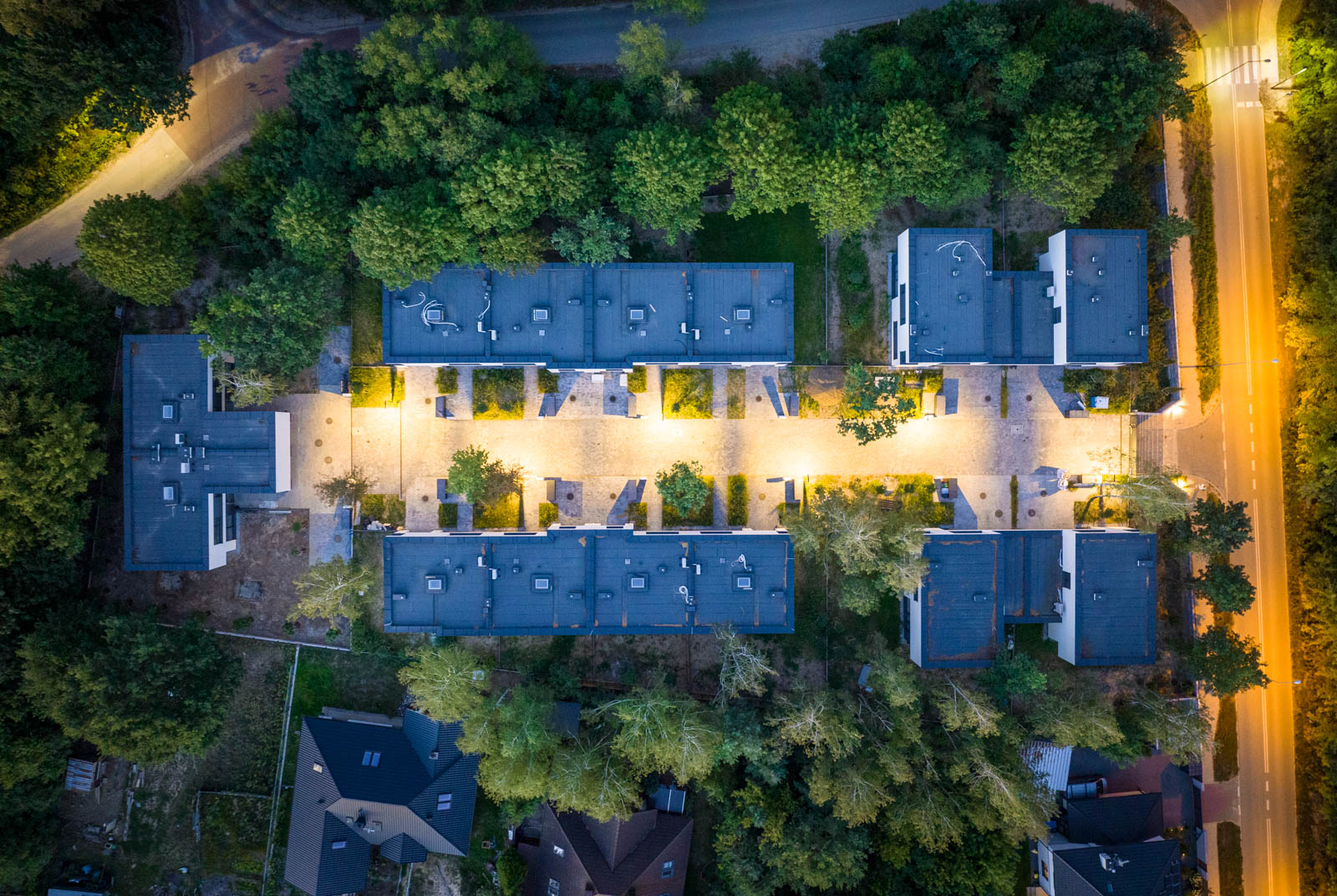
We use a modern fleet of drones equipped with cameras with large matrices, ensuring faithful color reproduction and enabling photography after dark.
We have many years of experience in photo and film editing using professional software for photographers and filmmakers Adobe Lightroom and Adobe Premiere Pro.
We prepare all materials using equipment dedicated to artists (including graphic tablets, specialized monitors for graphic designers, and high-performance computers for video editing). This ensures the highest quality of all our photos and videos.
JOIN THE SATISFIED CUSTOMERS
REFERENCE
What’s worth knowing?
Frequently Asked Questions
What is the cost of drone photos and videos?
The price of drone photography and video depends on many factors, such as: the complexity of the project (how many photos or minutes of footage are needed?), the scope of post-production (will it require photo editing or retouching?), travel costs (where is the property located?). We encourage you to contact us to get an accurate quote tailored to your specific needs and expectations related to drone photography and video.
Will I receive an invoice?
Yes, we issue invoices without VAT.
How will I receive the drone photos and videos?
We make drone photos and videos available for download via cloud storage.
We are ready to take photos and videos of your property
Get a free quote
Contact
+48 792 123 215
dronox@dronox.pl
DronoX
Marcin Redziński
Olczyska 4
02-828 Warszawa
NIP: 9512189778
REGON: 389749268